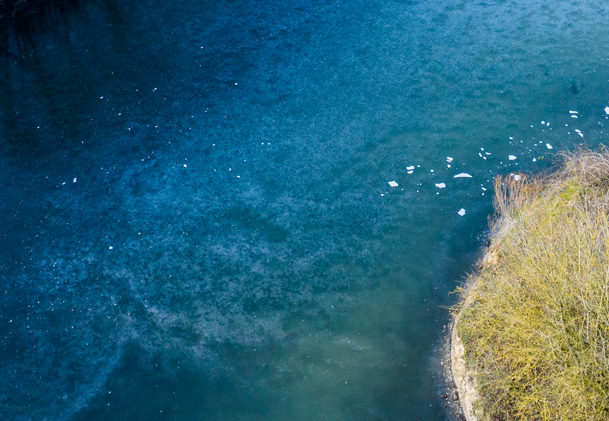
Hillshott, Letchworth
In Hillshott we are monitoring the river closely to see how the work we are doing is slowing the flow and positively influencing water quality and flow.
Norton Common Inlet, Letchworth
In Norton Common we are monitoring water quality to understand what chemicals and other substances are in the water.
Industrial Outfall, Letchworth
There is an industrial outfall in Letchworth. This is where water discharges into the river from buildings.
Cowslip Hill, Letchworth
Checking the river level at Cowslip Hill helps us share news about the conditions of the Pix.
Wilbury Road, Letchworth
The area around Wilbury Road has previously flooded. This makes it very important that we monitor the river level and inform the community of significant changes.
Standalone Farm, Letchworth
We have installed a gauge station at Standalone Farm which shows where the river level is. This helps everyone see the rise and fall of the river level as it changes.
The Reservoir, Letchworth
We monitor the river level and water quality at the reservoir. In the future we will also be installing rain gauges to help us decide the best way of managing rainwater.
Downstream Reservoir, Letchworth
Monitoring the Pix downstream of the reservoir at Letchworth helps us understand more about the Pix and focus on creating a more resilient community.
Downstream Reservoir, Fairfield
We monitor water quality downstream of the reservoir at Fairfield to understand what chemicals and other substances are in the water.
Valerian Way, Stotfold
We monitor the river level close to Valerian Way using a water level gauge station.
Brook Street, Stotfold
We monitor the river level near Brook Street using a water level gauge station and gauge boards.
Heron Way, Stotfold
We monitor the river level close to Heron Way using a water level gauge station and gauge boards. We also monitor water quality here.
Etonbury Woods, Arlesey
We monitor the river level close to Etonbury Woods using a water level gauge station.
Church End, Arlesey
We monitor water quality in the Pix at Church End. This helps us to understand what chemicals and other substances are in the water.
