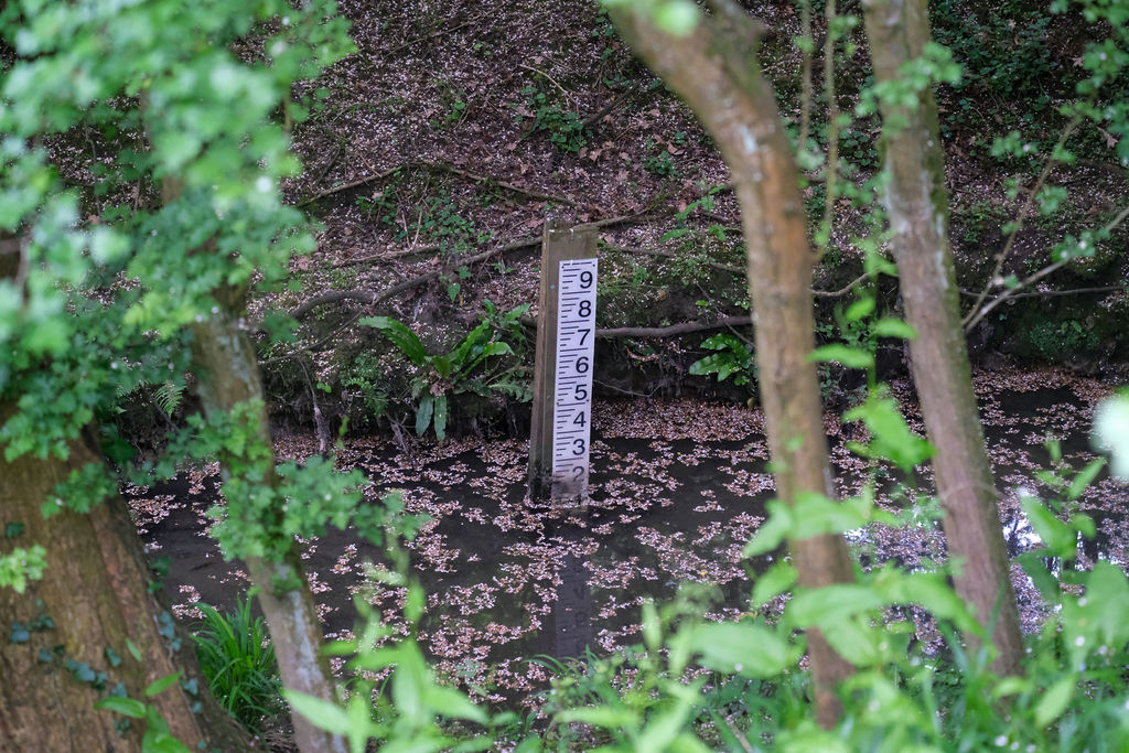
River monitoring records the amount of water flowing through a river over time which gives us an accurate indication of possible flooding.
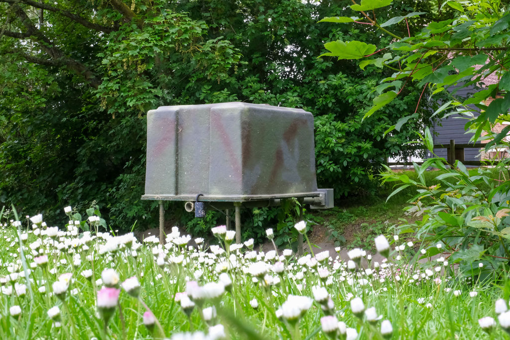
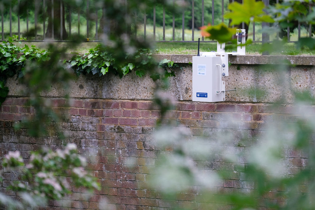
We are installing state-of-the-art monitoring technology to get live data at key points on Pix Brook.
This information will be used to track changes in river level, identify potential problems, and make decisions about water management. This helps us know more about the risk of flooding and make choices to help reduce it.
Using this data will help communities to be better informed and able to adapt, respond and recover from flooding events. Monitoring Pix Brook in this innovative way will increase community resilience to climate change.
View more monitoring locations along the Pix Brook.