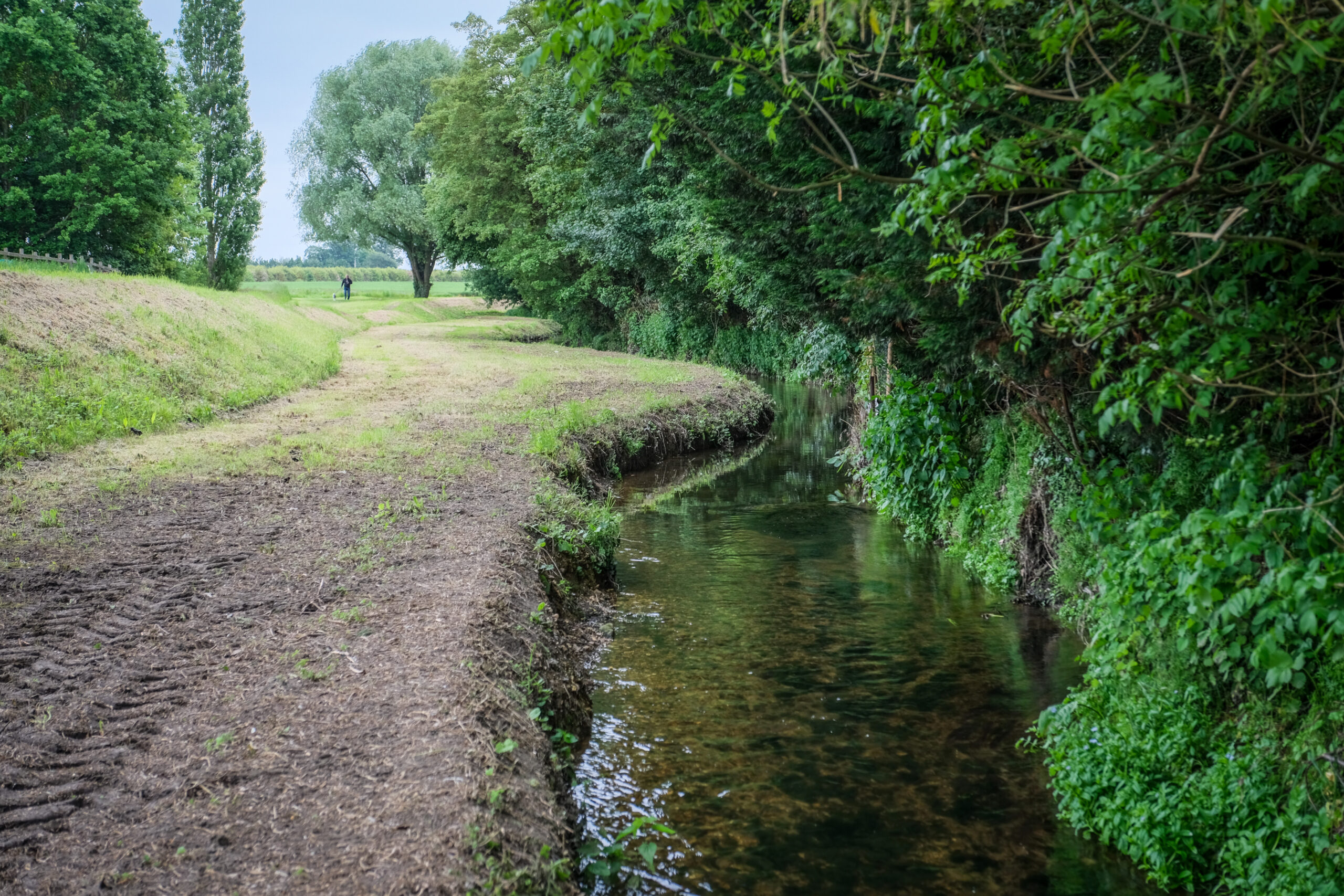
Monitoring the Pix in Hillshott helps us understand more about the Pix and focus on creating a more resilient community.
When we monitor water quality we will understand what chemicals and other substances are present in the water. We want to know the sources and pathways of contamination that enter the river in this area to help us minimise pollution entering the Pix Brook.
Read more
In Norton Common we are monitoring water quality to understand what chemicals and other substances are in the water.
Water flows into Norton Common through an inlet and there is also an outfall, where water drains away from homes.
We want to understand the sources and pathways of contamination that enter the river in this area to help us minimise pollution entering the Pix Brook.
Read more
There is an industrial outfall in Letchworth. This is where water discharges into the river from buildings.
We are monitoring water quality around the industrial outfall to understand what chemicals and other substances are in the water. We want to understand the sources and pathways of contamination that enter the river in this area to hep us minimise pollution entering the Pix Brook.
Read more
We monitor the river level and water quality at the reservoir. In the future we will also be installing rain gauges to help us decide the best way of managing rainwater.
Checking the river level helps us share news about the conditions of the Pix. If the river levels are increasing so we can let you know about the likelihood of flooding in the area. This ensures that the community can be resilient to any potential flooding.
We monitor rainfall at the reservoir and have installed a rain gauge here too. Monitoring rainfall will help us to decide where we should install smart and traditional Sustainable Drainage Systems (SuDS) to manage rainwater in urban areas to slow flows by mimicking the way water naturally drains into the ground.
We also monitor water quality at the reservoir to understand what chemicals and other substances are in the water. We want to know the sources and pathways of contamination that enter the river in this area to help us minimise pollution entering the Pix Brook.
Read more
We monitor the river level close to Heron Way using a water level gauge station and gauge boards. We also monitor water quality here.
We are monitoring the river level close to Heron Way to help us understand more about the Pix. If the river levels are increasing we can let you know about the likelihood of flooding in the area. This ensures that the community can be resilient to any potential flooding.
We are also monitoring water quality in the River Pix at Heron Way. This helps us to understand what chemicals and other substances are in the water. We want to understand the sources and pathways of contamination that enter the river in this area to help us minimise pollution entering the Pix Brook.
We have installed gauge boards here too. These are big rulers which show where the river level is. This helps everyone see the rise and fall of the river level as it changes.
View DataWe monitor water quality in the Pix at Church End. This helps us to understand what chemicals and other substances are in the water.
Monitoring water quality in the River Pix at Church end helps us to understand the sources and pathways of contamination that enter the river in this area. This helps us minimise pollution entering the Pix Brook.
Read more